When you talk about sun rise and sunset in Sabah, there are plenty of places for you to witness them with super natural beauty of the mountains and sea which you can't find it in KL which has a lot of tall high-rise buildings. And one of the place that I would like to introduce is Mengkabung Bridge at Telipok. This place is about 40 minutes drive towards the north from the city center provided that there is no traffic congestion. If you are using Waze or Google Map, search for Jalan Sulaiman (located along the straight road from Jalan Norowot). One thing very nice about this place is that the sun rise will come from different angles from Mt Kinabalu at different part of the year! So make sure that you find out the time for sun rise before you start your journey. =)
Time is roughly past 6 am. The sun is still hidden behind the Mt Kinabalu =)
The moon is hanging beautifully high up in the sky! It remains me the time when I was at peak of Mt Kinabalu watching the sun and moon at the same level.
We are standing exactly at the middle of the bridge because that's the nicest spot to see sun rise!
Mengkabung bridge at Jalan Sulaiman
Still waiting for the sun rise =)
Mengkabung Bridge from the bottom.
The sun is not "shy" anymore and coming out from Mt Kinabalu.
The beauty of sun rise! Just wish that the sky should be clearer.
After spending an hour at Mengkabung bridge for sun rise, we moved on to a nearby village (about 10 minutes drive), Kg Lapasan to hike Bukit Tirig. According to the locals, there are 2 ways of going to the starting point but the easiest one is definitely via the church named St. Flora and this point has more place to park your car. If you lost some where in the village, ask the villagers and they are very willingly to guide you all the way there! =) The trail is slightly less than 1 km from the starting point and it is a good way to start for those who have no stamina. If you plan to watch sunset, remember to bring your torchlight along.
Since the small hill is also used for the Way of the Cross for the nearby Catholic church (St. Flora), so you are expected to see crosses all the way up!
The last station for the Way of the Cross, means the beginning of the jungle trekking.
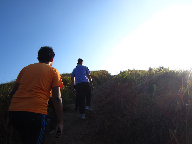
And we are almost there!
View from the peak! Try to spot Mengkabung Bridge!
View at the other side. And one thing, please wear long pants as you need to walk through the bushes.
Everyone made it!
Never miss a group picture! =)
Post #1 among the bushes
Post #2 among the bushes
One random shot before everyone heads down for breakfast! =)
Moving down..
(Back track of the trail) Before entering the jungle part.
(Back track of the trail) The trail has no steps so it would be a bit slippery and the trail is a bit narrow.
(Back track of the trail) The beginning of the trail. It is all sand only.
(Back track of the trail) The beginning of the trail.
(Back track of the trail) The pond at the starting point.
The place to park your car at the starting point. No many spots so it's your luck whether you get it or not!
And this is the church that I mentioned. Once you spotted this board means that you are almost there.
Enjoy and have a nice day. =)


